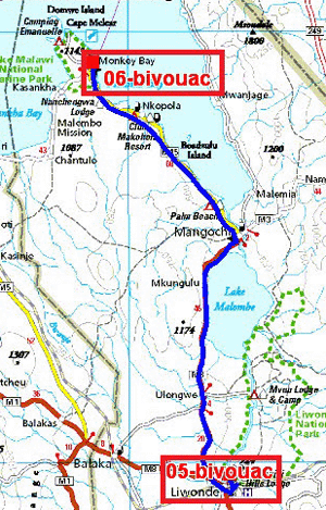
The GPS road tracklog
from Liwonde National park to Monkey Bay
from 2019/02/04 ato 2019/02/05
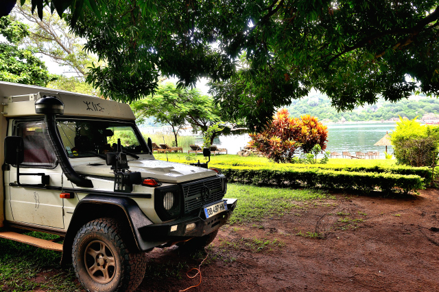
Monkey Bay
Monday, February 4 the road to go to Monkey Bay traverses green
landscapes at an altitude of 480 meters sometimes cultivated of corn at
the bottom of medium mountains. Of course of many police check-points
ask sempiternally, the driving license and the insurance, this one
sometimes been the object of tergiversation because it was made in
Namibia. My response is always the same one, with a smile, it was
accepted by the customs to my entry Malawi. I established my bivouac in
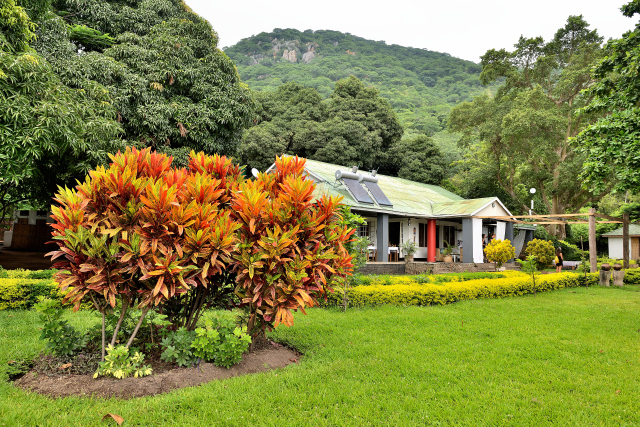
a Lodge at the edge of the lake Malawi,
here, within the boundary of a military establishment.
|
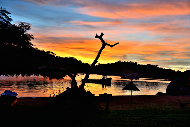
| Lever du soleil, Sunrise |
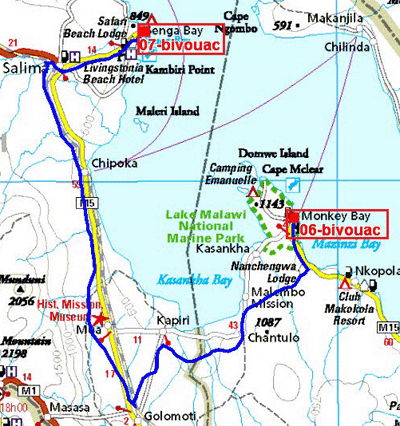
The GPS road tracklog
from Monkey Bay to Senga Bay
from 2019/02/09 to 2019/02/10
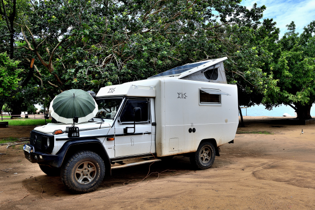
Senga Bay, Steps Campsite
Saturday, February 9 I left with regret Monkey Bay Beach Lodge after
five days of rain but with a very beautiful landscape and splendid
sunrises in covered sky. The last day I became acquainted with a couple
charming of South-African. The road towards Senga Bay is of good quality
with sometimes pot-holes. In Senga Bay I have disappointment to discover
that the Cool Runnings camping was closed for holiday. I had to go to
Steps Camp-site of poor quality with a beach strewn with refuse and a
block of ablutions in bad condition. Despite everything I remained two
nights there. The night from Saturday to Sunday midday was particularly
rainy and stormy.