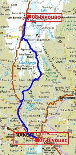
The GPS road tracklog
from Nakuru to Lake Baringo, Robert's Camp
from 2019/04/16 to 2019/04/16
Lake Baringo, Robert's Camp
Tuesday I left Nakuru by regretting the 1907 m of altitude for freshness
during the night. After being entered the northern hemisphere I visited
Lake Bogoria,
here, and its pink multitude Flemish. Only one track led to the lake
then skirts it on the western face, tracks stony in addition. I decided
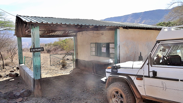
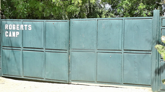
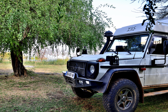
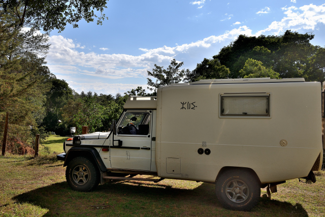
to go to bivouac in Robert's Camp (986 m) at the edge of Lake Baringo,
here, last lake into Great Rift Valley before Lake Turkana,
here, partly border with Ethiopia where I will not go.
click on the pic for opening the gallery
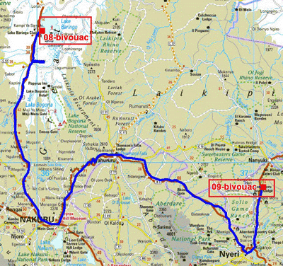
The GPS road tracklog
from Lake Baringo, Robert's Camp to Bantu Lodge, road #A2
from 2019/04/17 to 2019/04/17
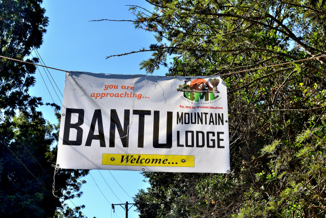
Bantu Mountain Lodge, road A2
Wednesday, April 17 I wished to go to Nanyuki directly by taking a track
starting from Marigat which became increasingly narrow and finished in
front of a river. I returned to Marigat to take the B4 road up to Nakuru
then the B5 road up to Nyeri and finally the A2 road where I stopped
before Nanyuki to bivouac at Bantu Mountain Lodge after 323 km.
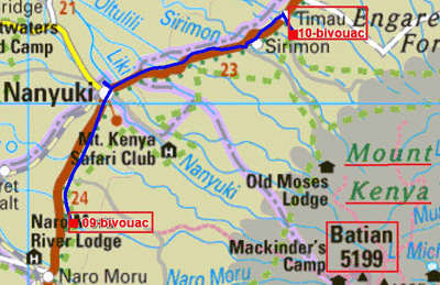
The GPS road tracklog
from Bantu Lodge to Timau, Kentrout
from 2019/04/18 to 2019/04/19
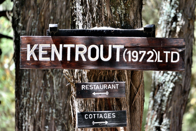
Timau, Kentrout Grill
Thursday, April 18 was a small morning to go to Nanyuki then Timau where
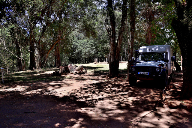
I bivouacked in Kentrout for two days. On the way I took pictures of
Mount Kenya,
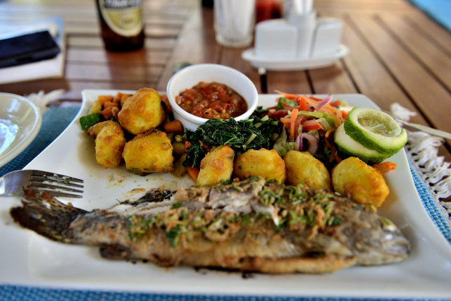
here, in the morning fog. On Friday, April 19 I lunched at the
restaurant of Kentrout.
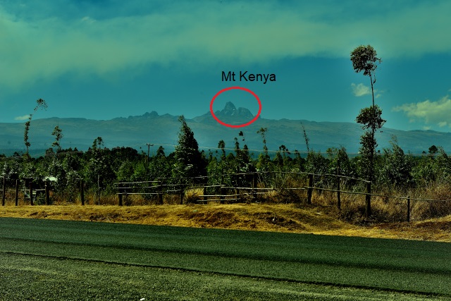
|
| Mt Kenya, Batian Peak 5199m |
The GPS road tracklog
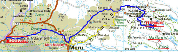
from Timau, Kentrout to Meru NP
from 2019/04/20 to 2019/04/20
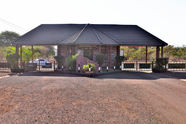
Meru Nationbal Park
Saturday, April 20 I left the bivouac at the bottom of MT Kenya to 2283
m for Meru National Park,
here, to 600 m of course the temperature had
significantly gone up to 38°C in the cell; it decreased with 26°C only
at 2:00 am! On the way I had stopped at the supermarket of Meru. I
arrived around 10:30 at the entrance of park of Meru. The formalities of
entry took much time so much the comprehension of the ranger was
limited; there was no map to visit it if not to take a picture of the
engraved on a stone but perfectly illegible on the camera. I left to
seek the animals of which I found some species. At the end of the day I
bivouac in public Bwatherongi campsite. I remained two days in the park.
click la photo pour ouvrir la galerie
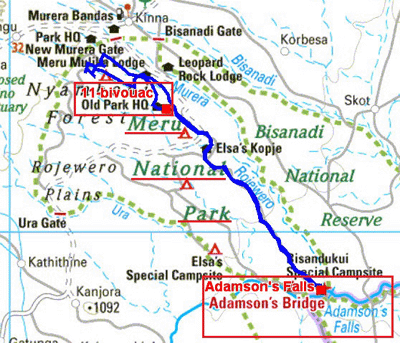
The GPS road tracklog
Meru National Park
from 2019/04/21 to 2019/04/21
Sunday, April 21 left as of 6:30 with a guide in search of predatory I
discovered only herbivores and birds. We went up to Adamson's Falls to
lunch frugally. The temperature had climbed up to 38°C. I returned to
the camp-site at the beginning of afternoon to take a shower at the
exterior temperature. Not what to refresh my harassed body. Around 18:00
the temperature having dropped I put at work on my computer.