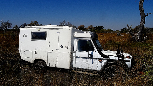
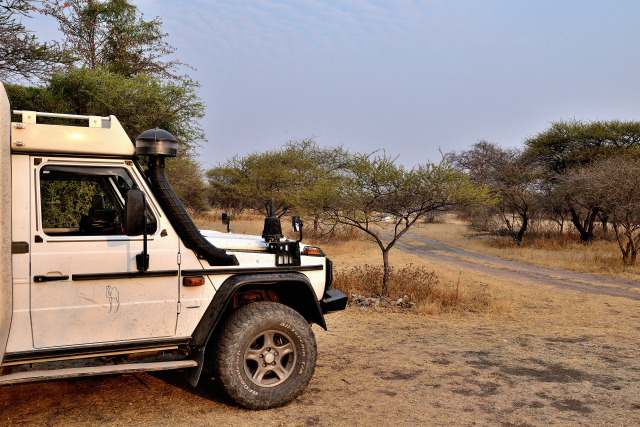
Mababe
On Monday, July 30 I left Savuti as of the daybreak to go to Mababe
not knowing where the reserved campsite was, Dijara Campsite. The
track was the same one as that taken the day before to traverse the
marsh in search of wild animals. I decided to make a detour to
return to Marabou pans, if I am lucky, I could perhaps see… While
arriving at the pond two lionesses and their puppies left it moving
towards shrubs. At very low speed I followed the horde by
overlapping the shrubs. The troop stopped. The pups played like
children bickering, climbing in the trees, coming towards their
mother to tease her by nipping her ears. During nearly one hour I
attended a fantastic spectacle which I left with many regrets to
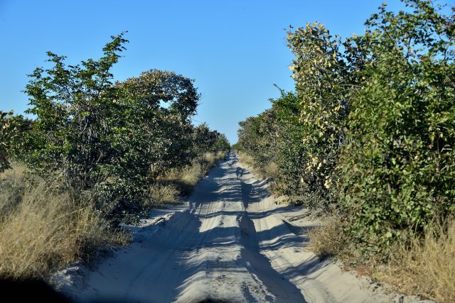
take again the Sand Ridge Road. In Mababe I wandered during more
than one hour in search of Dijara campsite. Finally I was directed
towards Dizhana Campsite where I remained two nights to have rest
and make the administrative tasks.
click on the pic for opening the gallery
"Okavango Delta"
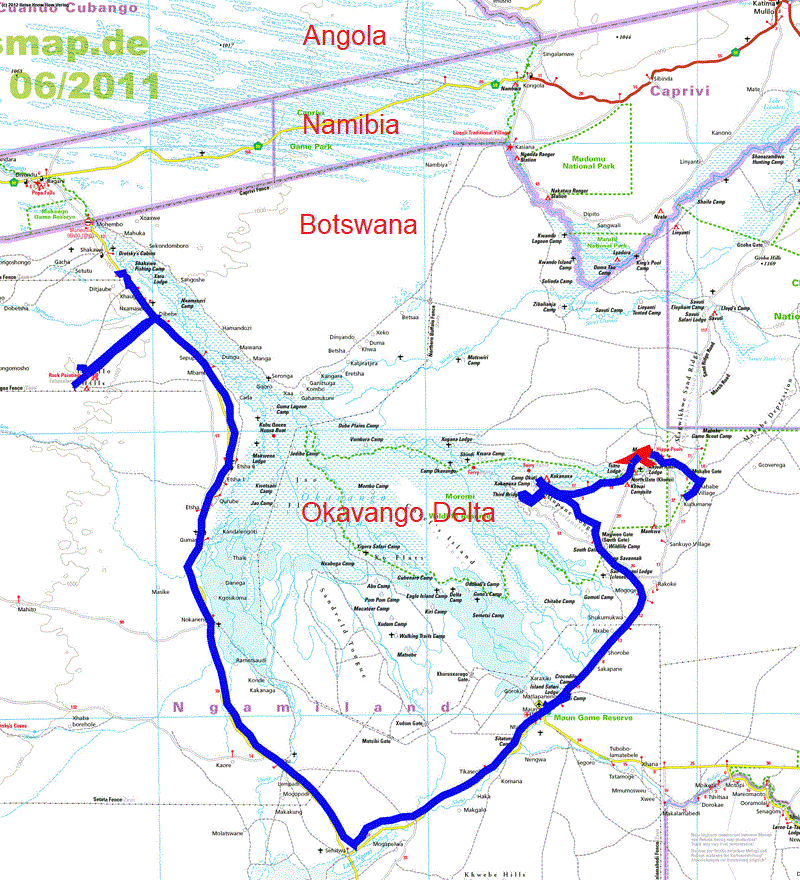
The GPS road tracklog
from Okavango Delta
from 2018/08/01 to 2018/08/10
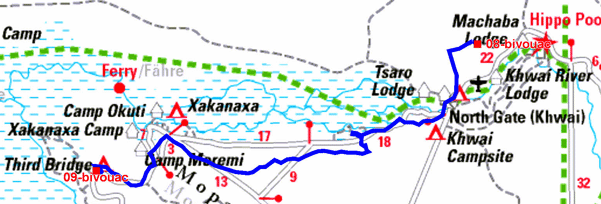
Moremi Game Reserve
Khwai
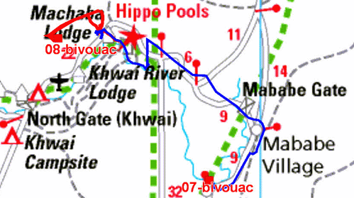
The GPS road tracklog
from Mababe to Khwai
from 2018/08/01 to 2018/08/01
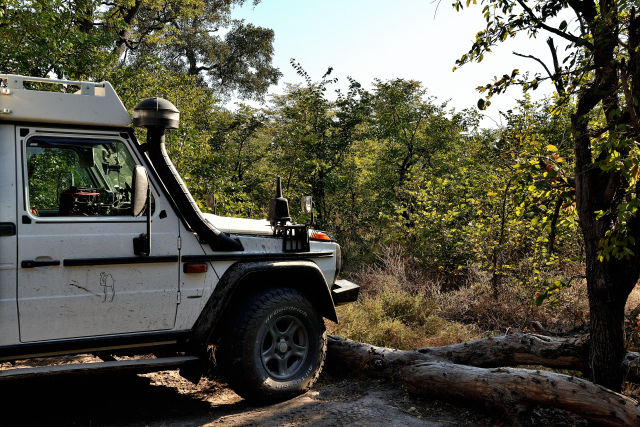
On Wednesday, August 1 I left Mababe without regret for the village
of Khwai where I thought of finding food, Que nenni. After having
left the main track I followed a track along the Khwai river where
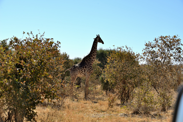
I observed all the species of antelopes as well as a multiplicity of
birds of marsh. Then hippopotamuses in the water whose only head
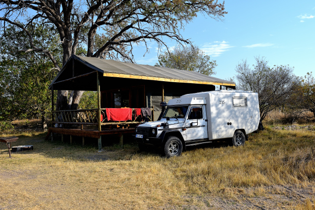
emerged. To go to Mbudi Campsite Khwai I have the bad idea to follow
the GPS indications, not to do, I planted my truck in a flooded
track. I tried to leave it with the sand plates, without success.
I decided on foot to return towards the track where I had seen
vehicles of tour operators. Once again providence came to my help.
The driver of a forwarding dealt with to me and we went to see the
position of my vehicle. Then he led me to Mbudi Campsite Khwai. The
person in charge organized a forwarding with the team of the camp
equipped with, axe and Hi-Jack. On the spot two registered ZA
vehicles, South Africa, united with us and three of the occupants
took over the leadership of the operations with know-how. My truck
had left its delicate position. The trace in red of the map
represents the way traversed on foot and in the vehicle of the tour
operator and the team of Mbudi.
click on the pic for opening the gallery
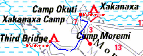
Third Bridge
The GPS road tracklog
from Khwai to Third Brige
from 2018/08/02 to 2018/08/02
On Thursday, August 2 I moved towards Third Bridge in the marsh.
The harvest of photographs of wild animals was less profitable.
The bivouac in Third Bridge Tented Camp was sumptuous I slept in
a house in fabric equipped with a furniture with a double bed and
a hot shower, the luxury!
click on the pic for opening the gallery
Xakanaxa
The GPS road tracklog
de Third Brige à Xakanaxa
du 2018/08/03 au 2018/08/03
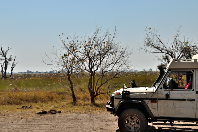
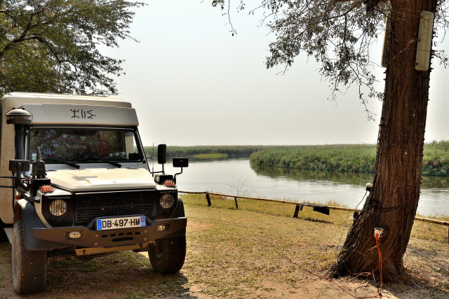
On Friday, August 3 I arrived at Xakanaxa in mid-morning. On the way
I met only animals already considering. Whereas I worked at my
website two embarrassing visitors, elephants, ate the fruits fallen
from the tree. Of course I took quickly my camera to take them in
red-handed. But when they saw me they came to my. I returned
precipitately inside my truck. My bivouac was at the edge of
Okavango River close to the landing stage to visit in one hour
Okavango Delta, I bought a ticket. Except for two elephants at the
bath I observed primarily birds which abound of which a couple of
eagle.
click on the pic for opening the gallery
Okavango Delta, click on the pic for opening the gallery
Maun
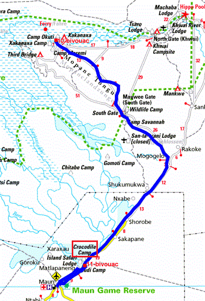
The GPS road tracklog
from Xakanaxa to Maun, Crocodile Campsite
from 2018/08/04 to 2018/08/04
Saturday, August 4 I started from Xakanaxa at 6:00 to go to Maun to
meet an agency in order to organize the continuation of my trip in
Botswana. The way is approximately 147 km which I traversed in 4
hours. I wandered in Maun to find the agency. Finally I met the
person concerned on a car park. ¨Then we went to the Crocodile
Campsite to discuss the continuation of the trip.
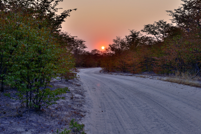 |
 |
| Lever du soleil, Sunrise |
Crocodile Campsite |
Tsodilo
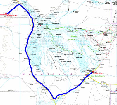
The GPS road tracklog
from Maun to Tsodilo
from 2018/08/05 to 2018/08/05
Sunday, August 5 I started early to go to visit the site of Tsodilo
registered to UNESCO in 2001. There is more than 4000 rock paintings
whose dating poses problems. The first inhabitants arrived
approximately 30,000 years ago I traversed the 395 km in 8:00
because the road is pot-holed making the progression hard and
tiring. The visit of the site is guided with very interesting
comments. I slept on the spot at the adjacent camp-site.
click on the pic for opening the gallery
Shakawe
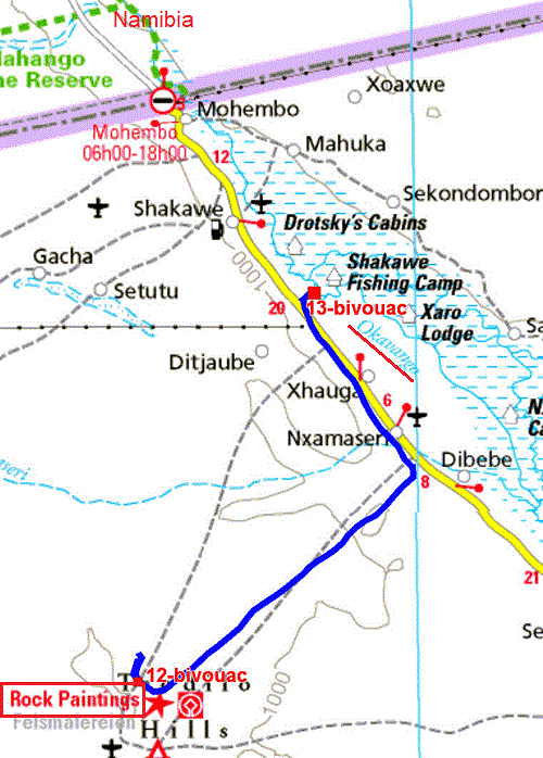
The GPS road tracklog
from Tsodilo to Shakawe
from 2018/08/06 to 2018/08/06
The following day I was going to have rest at the edge of Okavango
River in Shakawe before returning to Maun by the terrible potholed
road.
Maun
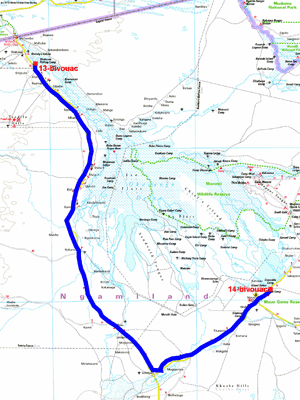
The GPS road tracklog
from Shakawe to Maun
from 2018/08/07 to 2018/08/10
On Tuesday, August 7 I left Shakawe around 4:00 a.m. to make the 364
km return to Maun in 8:00. Indeed I had appointment with a travel
agency to finalize the reservations of the bivouacs in Kalahari Game
Reserve and Kgalagadi Transfrontier Park. I remained four days at
the Crocodile Camp-site, I met three times the representative of the
agency, it is necessary to be persevering!
 |
 |
| At Crocodile Camp in front of my camper |
On Friday, August 10th, the day of my 78th birthday, I flew over the
Okavango Delta by helicopter.
click on the pic for opening the gallery