From 2005/03/02 to 2005/03/24
The tour in Morocco includes six phases of nine stages.
The border was crossed at the checkpoint of Guergarat. The control of police lasted several minutes; time necessary for the officer to create an identification number for this first entry. The customs officer as a chief, into civil, under outside gracious, put the good questions while the officer, in uniform, wrote out the information from the documents.
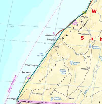
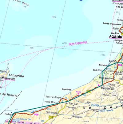
Due to the expanse of the Western Sahara, ex Spanish, two maps
are essential to show the followed route which besides does not have an
alternative : Only one coastal road. The map is not up
to date, because the road is asphalted from the border post.
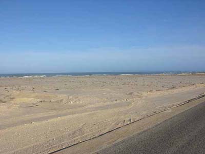
It is obvious that the Moroccan government made important developments in
this area, pacification obliges, and the result is manifest. Moreover of the
efforts were made to attract tourism, hotel infrastructure, roads in good
condition, service stations in a number. And not of least, benevolence of
controls of police and gendarmerie. Sometimes from the control of
police, the officer requests a file of information while
excusing himself : "It is for statistics." Any traveller
must have several specimens of this abstract card taking again the marital
status, the name of the parents, the number of the passport, the
identification of the vehicle.
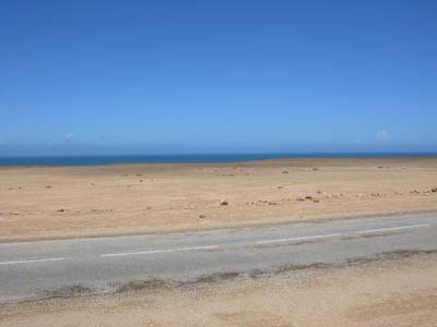
Map
Road in green
Coastal road
The Western Sahara
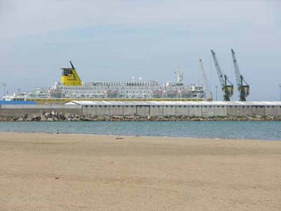
Fishing port
Porto Rico
Map
The Western Sahara
Road
The Western Sahara
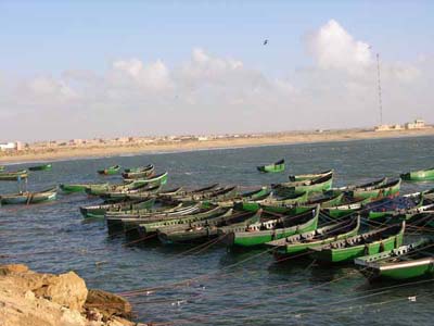
Fishing port
Tarfaya

Fishing boats
Tarfaya

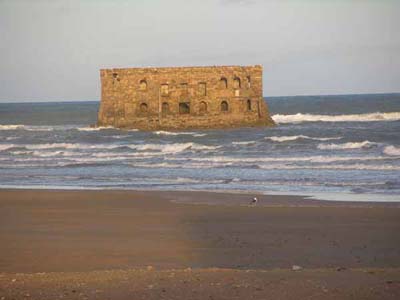
Monument dedicated to
Saint-Exupéry
Tarfaya
During the between two World Wars,
Tarfaya was the stop-over for the planes of Air-mail from Toulouse to Dakar.
Strong Spanish
Casamar
"Casa del mar"
Tarfaya
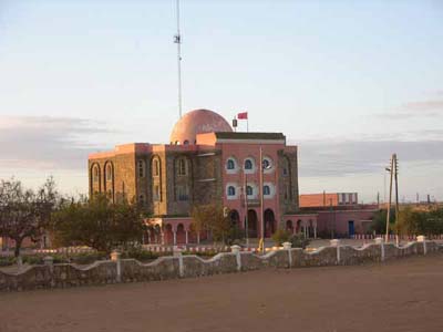
Administrative building
Tarfaya
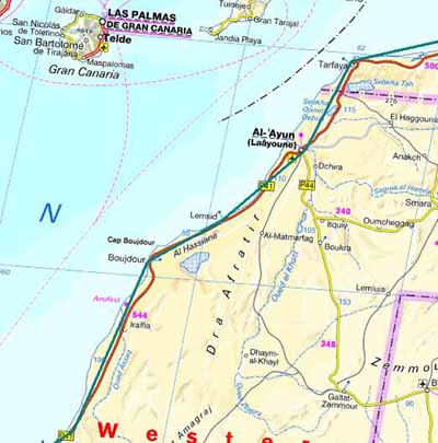
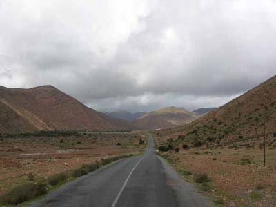
Map
Moroccan south
From Gulmim, the road inflects towards the coast in the
search of a place of rest for several days. The cliffs are covered with
campervans of all nationalities remaining several months to flee the wintry
Europe.
Road to Sidi Ifni
Anti-Atlas
Landscape of the countryside
Mirleft
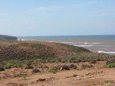
Landscape of the coast
Mirleft
Road
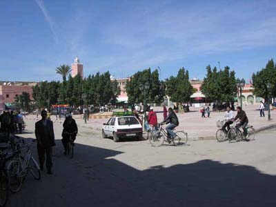
Morocco of the centre
Square
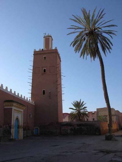
Tiznit
Street
wall broadside
Tiznit
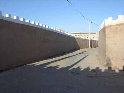
Mosque
Tiznit
Mosque
Tiznit
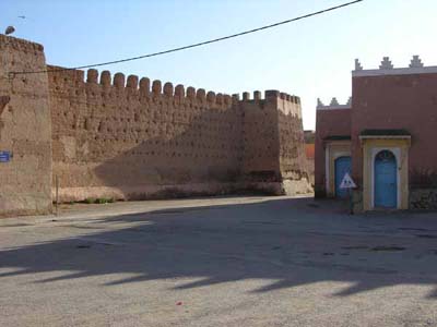
Walls
Tiznit
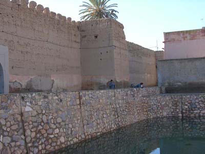
Blue source
Tiznit
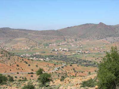
Landscape
Valley of Ameln
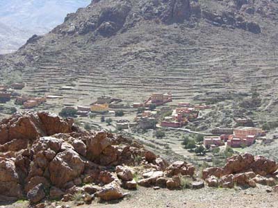
Village
Valley of Ameln

Strengthened village
Valley of Ameln
al-Alaouyine square
Taroudannt
Walls
on background of mountains
Taroudannt

Landscape
Plantation of orange trees
Sous valley
Landscape
Sous valley
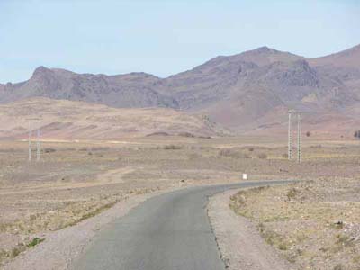
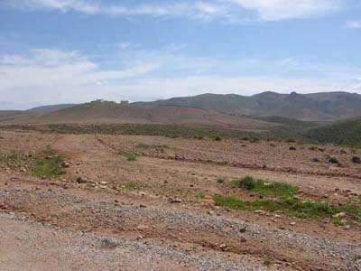
Plateau
Tazenkht
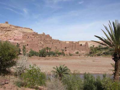
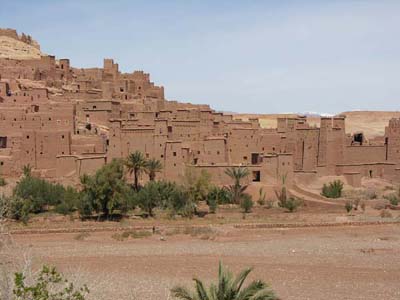
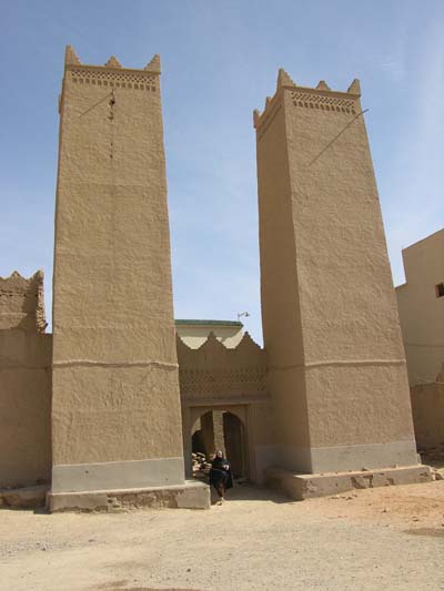
Aït-Benhaddou
Ksar
Aït-Benhaddou
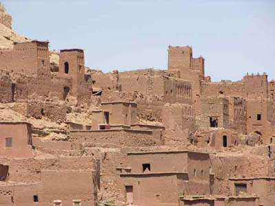
Ksar
Aït-Benhaddou
Ksar
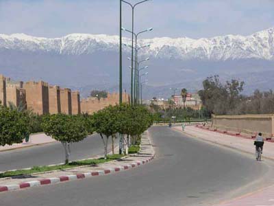
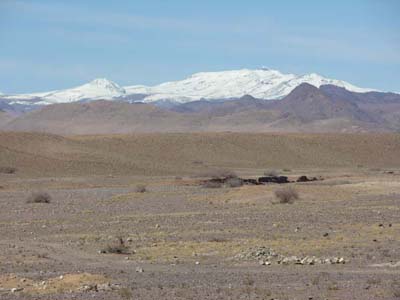
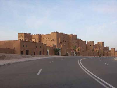
Ouarzazate
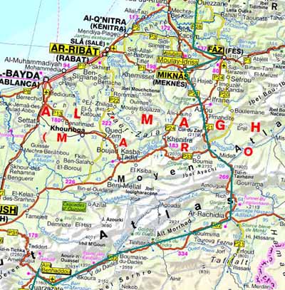
Map
Dadès valley
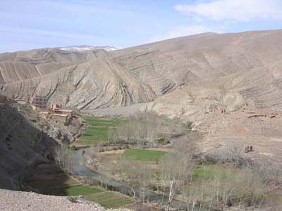
Landscape
Gorges du Dadès
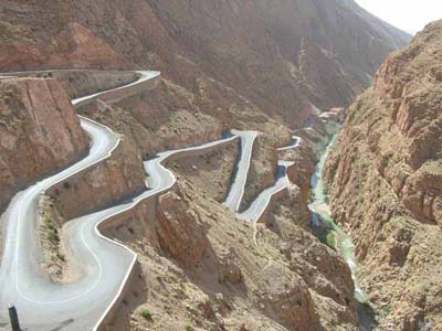
Road
Gorges du Dadès
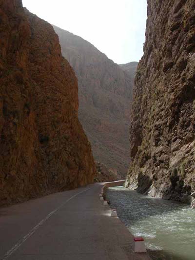
Landscape
Gorges du Dadès
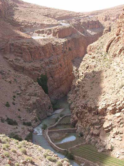
Landscape
Gorges du Dadès
Landscape
Gorges du Dadès
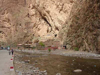
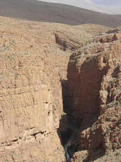
Gorges du Todra

Filial love
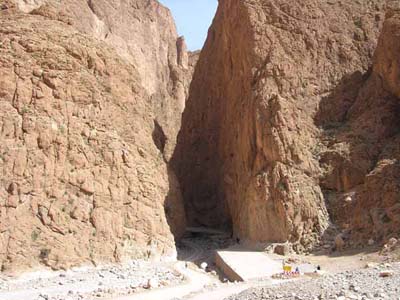
Gorges du Todra
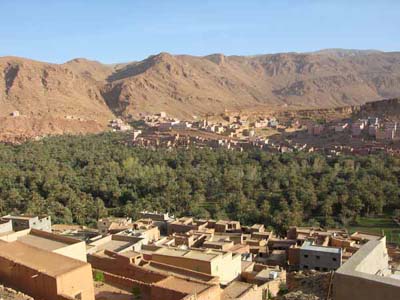
Todra valley
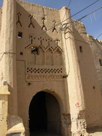
Ksar
Aït-Goulmima
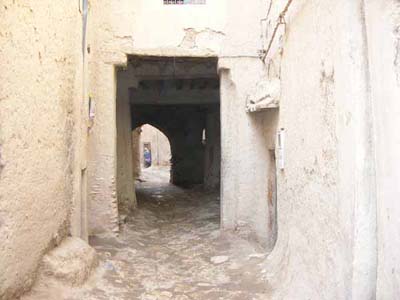
Street
Ksar Aït-Goulmima
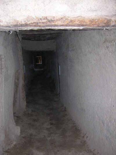
Street
Ksar Aït-Goulmima
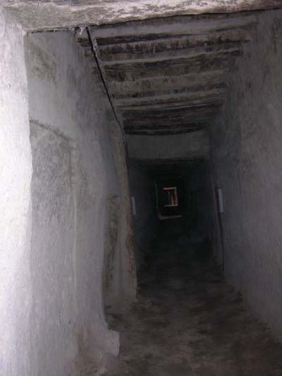
Street
Ksar Aït-Goulmima

Drainage works
Aït-Goulmima
Ksar
Aït-Goulmima
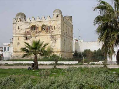
Strong Spanish
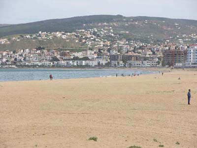
Martil
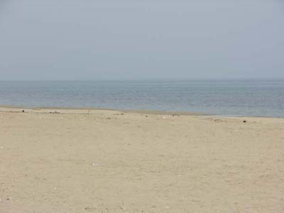
Beach
Martil
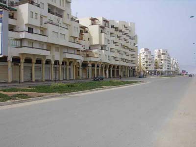
Sea front
Martil
Sea front
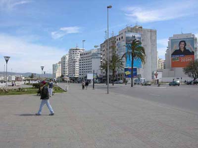
Tanger
Beach
Tanger
Port
Tanger
The way out of Morocco was carried out at the harbour of
Tangier by the loading on the ferry-boat "Biladi" of the Comarit
company to Sète.
The mileage travelled in Morocco was of 2,926 km in 26 days.
At the port of Sète, the operations of unloading and various controls took
nearly three hours.