From 2005/01/30 to 2005/02/10
The two facets of Niger were apprehended
:
--the north and centre are desert mainly occupied by Ténéré,
--the south-western cultivated is along the Niger river with the Niamey capital.
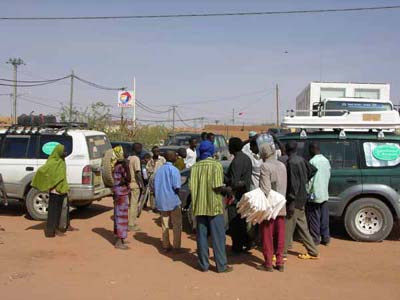
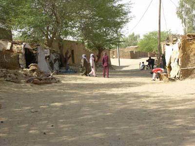
The border was crossed at Assamakka. The village is composed of scattered cob houses in a dusty grey sand landscape. The administrative operations were longer than tiresome. It is necessary to wait, to have patience. Admittedly the group is composed of 15 vehicles and 26 people; that take time with the employees to copy information from the passports and various documents to several registers. I took brutally contact with the notion of "African life". At the village the insurance agent is installed which delivers the document necessary for Niger, Mali and Senegal.
The track towards Arlit is either of stony or grey sand with bleedings slowing
down the progression of the truck. The city was built in 1971 at the time of
uranium discovery. To side of the factory and spoil heaps, the track skirts
an aerodrome then leads to a broad track of twice two lanes like a highway!
Before entering the desert, we filled up with diesel to have an
autonomy of at least 1,000 km holding account of overconsumption due to the
pressure of the tires lowered to 1,2 kg for soft sand and Ténéré.
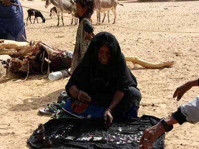
They were the first contacts with the African population, small merchants,
bargaining, and its wearying search children as well as
adults : "Give me a gift". They are sometimes the only
French known words!
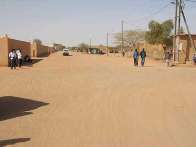
The city is built in full desert like a film scenery
broad quadrangular blond sand streets
broadsides of houses surrounded with walls
enclosing a small garden.
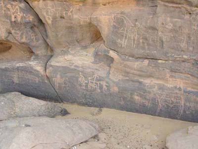
Arlit, covered mountains of petroglyphs
The area is rich in Neolithic vestiges
Adrar Bous was visited by Theodore Monod
The serious things started with a head southward to visit Adrar Chiriet,
Arakao -crab grip- then a head eastward to go to Dirkou by crossing Ténéré towards the well of Achegour.
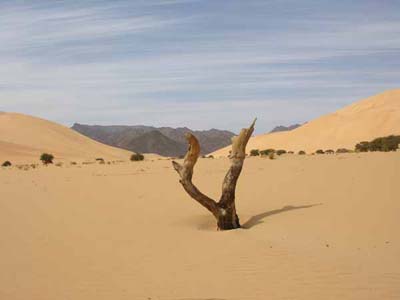
Dunes of Temet
Dramatic landscape on background of black mountains
Fugitive appearance of the desert fauna, hare, gazelle...
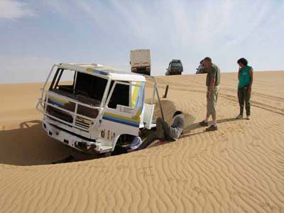
Pollution
Wreck of truck, "Dakar 87".
Several millennia to destroy it!
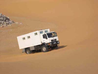
My first dune
Impressive on going down
view from the advanced cabin of the MAN.
Bivouac
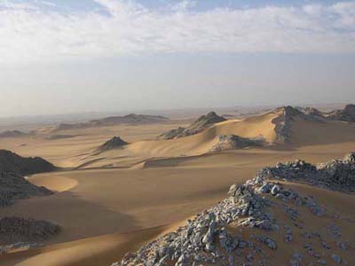
Enchanting landscape
"blue mountains"
Adrar Chiriet.
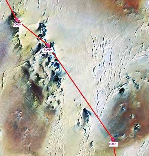
Photo satellite of the panorama
The road followed.
My second dune was steeper :
Gone up at the third test in 6th short gear with reducer
The needle of the revolution counter turns in red
Another photo
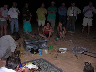
Evening at a bivouac
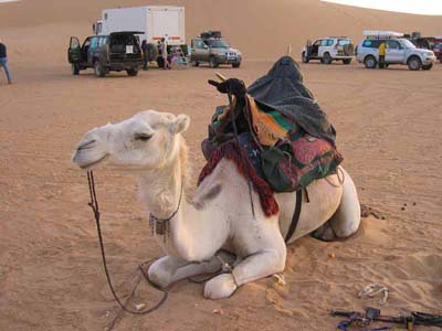
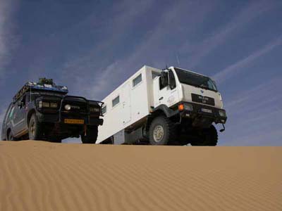
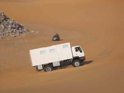
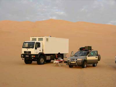
Anachronism
Two vehicles of the desert
The antique and the modern one
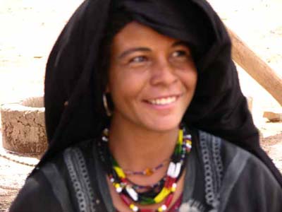
Meet Tuaregs
at the well of Timagreg
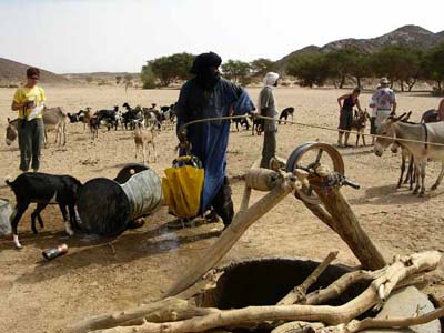
Scene of watering
Cattle at a well
goats, sheep, asses
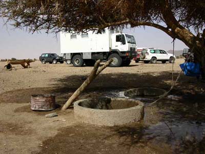
Well of Farès
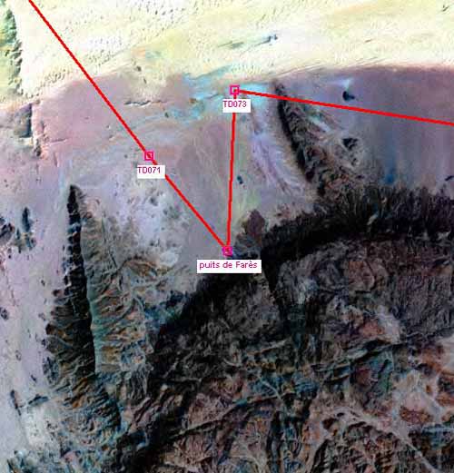
Satellite view
Well of Farès
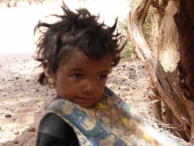
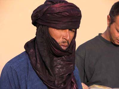
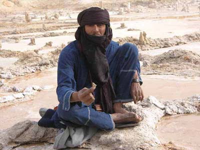
Tuareg child
Portrait of a targui
Bivouac
Entry of the "crab grip"

The "crab grip"
represented by the Russian map
in 1942 geodetic system Pulkovo
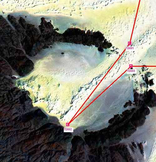
Satellite view
The "crab grip"
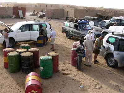
Enclosure of the diesel station at the village of Dirkou :
the most in the east close to the Libyan border
the cheapest diesel in this countryside
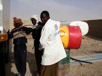
"African" technique
filling up the tanks
from a barrel of 200 litres
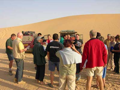
Morning briefing
Akli
Our Tuareg guide
From Bilma, 35 km southward of Dirkou, the progression headed wesward to go to Agadez
by crossing a second time the Ténéré desert -more in
the south- via the saltworks of Fachi, Oufaguédour and Toureyet.
The convoy passed by the old caravan trails of the Trans-Saharan trade of
salt and of valuable metals against cereals, from east to west - outward
trip and return -.
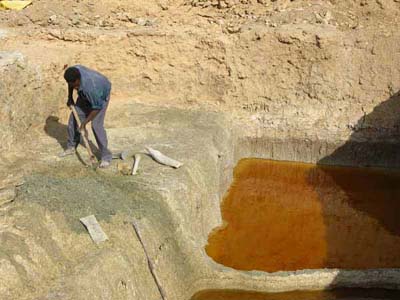
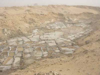
Saltworks
Bilma
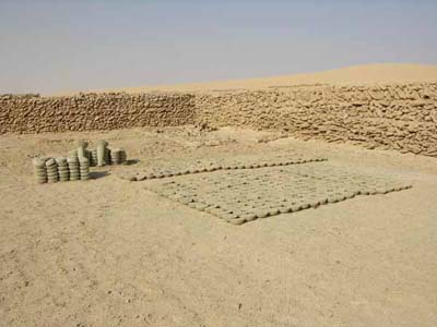
Grey salt
Animal food
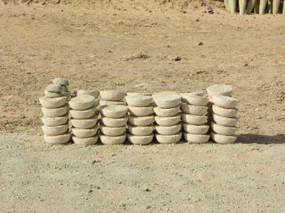
White salt
Human food
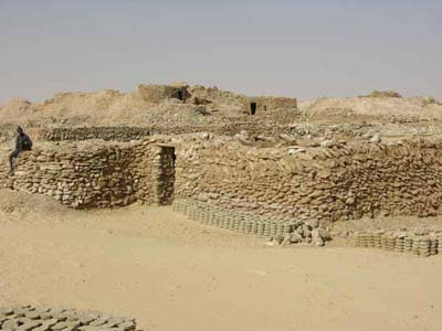
Houses of the "salt extractors"
Street
Bilma
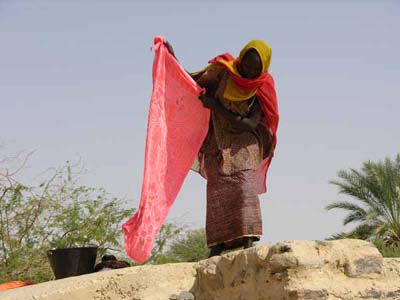
Washerwoman
Bilma
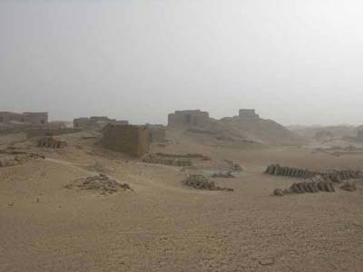
Impression of the saltworks at Fachi
by sand wind
Saltworks
Fachi
Akli and crystal of salt
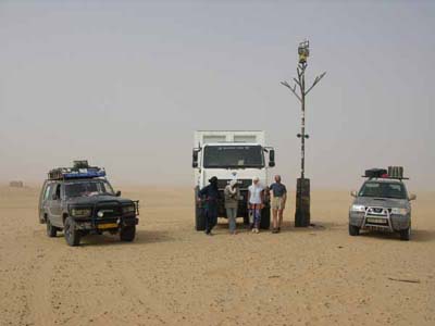
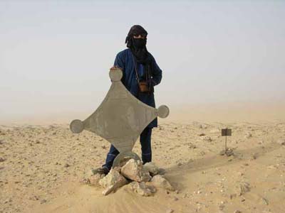
"L'arbre du Ténéré" :
Metal structure at the site of an uprooted tree
by a Libyan truck-driver in full desert!
The original tree is at the museum of Niamey.
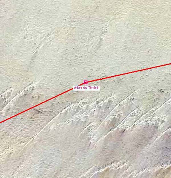
Satellite view
Localization of "L'arbre du Ténéré"
in the infinite desert.
Mausoleum of Bernard Giroux
Died in "Dakar Raid"
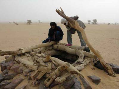
Well
Desert of Ténéré
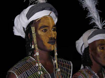
Entertainment of "peuls" songs
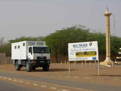
Agadez
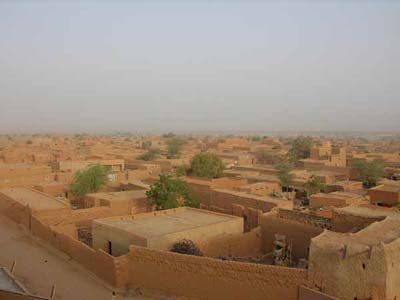
Air view
Agadez
The long stage of connection from Agadez to Niamey - by the track of Ingal
then the tarred road from Tahoua, Birnin-Konni, Dogondoutchi and Dosso-
passed gradually from the desert at Agadez to the Sahel at Tahoua then to the
cultures of the valley of Niger.
Lunch stop
Abalak
appointment checkpoint
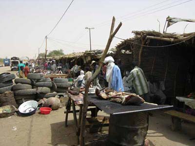
Tahoua
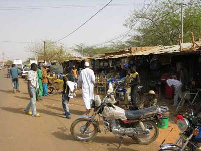
Market
Tahoua
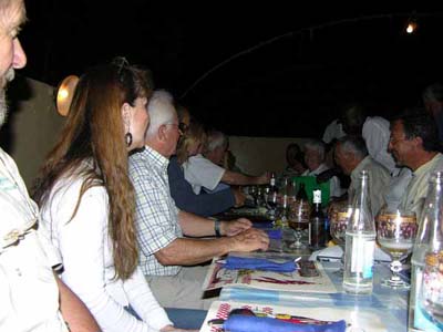
Dinner at "the best" restaurant
Niamey
From Niamey, the circuit took the tarred road going up Niger northward by Tillabéri and Ayorou.
It was the occasion to see fauna populating this area.
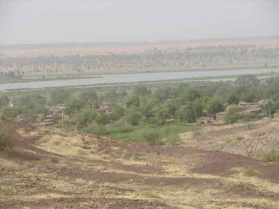
Niger
in its alluvial plain
Walk in the dugout on Niger at Ayorou to discover the fauna of savanna of Niger.
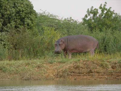
Hippopotamus
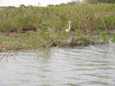
Wader, kind of heron
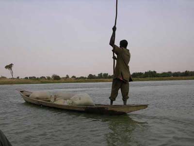
Carriage of goods
Niger
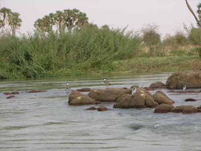
Scene of birds
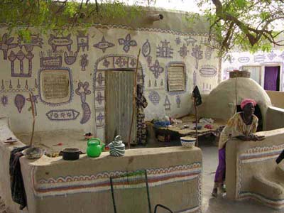
Decorated house
Part of the Ayorou village
on an island of Niger
The way out of Niger was carried out at a few kilometres northward of Ayorou,
then the entry in Mali at the village of Labbezanga.
The mileage travelled in Niger was of 3,718 km in twelve days of dirt track and a
few hundred kilometres of tarred road.